 |
 |
|
| Download Martil Dam - Morocco Case Study | Download Martil Dam - Morocco Case Study (French) |
Background
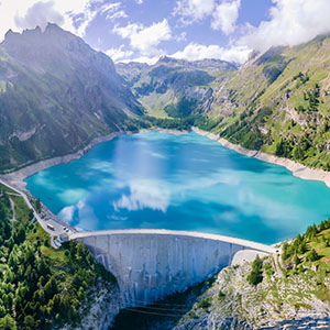
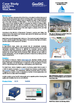
The city of Tétouan, nicknamed the White Dove, is located in northern Morocco.It and its neighbouring areas had a deficit in drinking water. It was decided that they would be best served by building a dam to regulate the water of Wadi Mohjerat, one of the main tributaries of Wadi Martil — 15 km from the town of Tétouan. This would provide additional water to eliminate the deficit in drinking water, satisfy future water demand, allow for irrigation for part of the agricultural land downstream of the dam, and aim to protect the city of Tétouan from floods. The project for provisional waterering of the dam began in January 2016; and final watering started in October 2018.
According to the Ministry of Equipment, Transport, Logistics and Water, the project is one of the area’s most complex dams given the delicate geo-technical characteristics of its location.
Martil Dam is the 6th highest dam in Morocco. The maximum height of Martil Dam is 100 m, and the length of the ridge is 600 m. The volume of the dam is 5.6 Mm3, and the volume of the reservoir is 120 Mm3.
Challenge
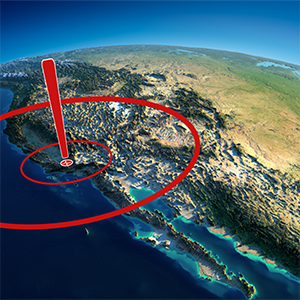
In high-hazard areas, dams can present risk for downstream residents. Earthquakes are particularly a concern because at this time there is no accurate earthquake prediction. Morocco is affected by moderate seismic activity compared to other Mediterranean countries, largely related to the convergence between the African Plate and the Eurasian Plate. Although we are unable to predict earthquakes, we can strengthen protective measures by making seismic hazard assessments.
Solution
Our Partner in Morocco, SyGeo (www.sygeo.ma), develops reliable, precise and long-term monitoring systems for its customers. SyGeo’s main activity is the supply, installation and maintenance of equipment for the auscultation of dams and civil engineering works, hydrology, oceanography, and meteorology.
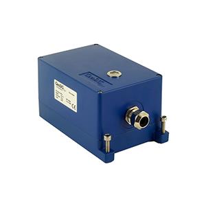
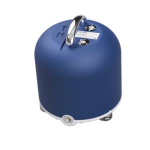
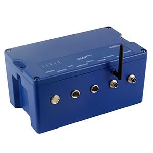
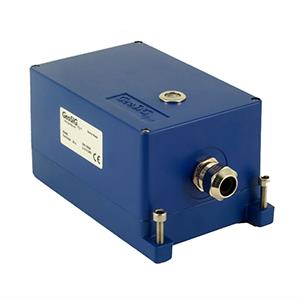
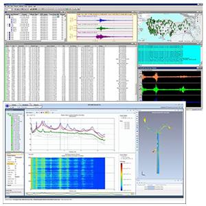
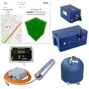
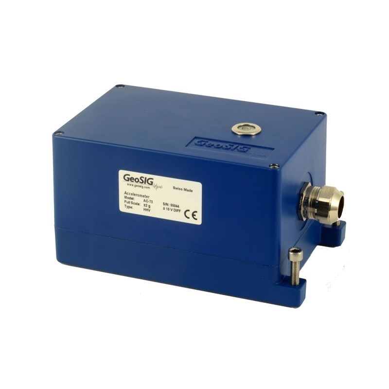
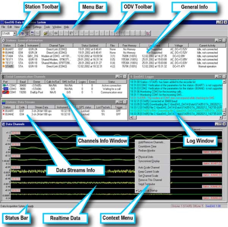
For Martil Dam, SyGeo installed a seismic monitoring system that included: 3 x GSR-18 seismic recorders, 3 x AC-73 triaxial force balance accelerometers, and GeoDAS software. The instruments’ software processes data in real time. If triggered by a seismic event, it calculates a number of event parameters and reports them to a data centre immediately.
Another solution using GeoSIG instruments and a capable partner showing that quality and reliability can also be cost effective.


