Download Second Penang Bridge - Penang, Malaysia Case Study
Background
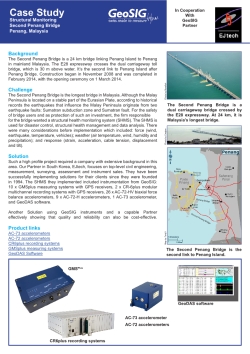
The Second Penang Bridge is a 24 km bridge linking Penang Island to Penang in mainland Malaysia. The E28 expressway crosses the dual carriageway toll bridge, which is 30 m above water. It’s the second link to Penang Island after Penang Bridge. Construction began in November 2008 and was completed in February 2014, with the opening ceremony on 1 March 2014.
Challenge
The Second Penang Bridge is the longest bridge in Malaysia. Although the Malay Peninsula is located on a stable part of the Eurasian Plate, according to historical records the earthquakes that influence the Malay Peninsula originate from two earthquake faults: Sumatran subduction zone and Sumatran fault. For the safety of bridge users and as protection of such an investment, the firm responsible for the bridge wanted a structural health monitoring system (SHMS). The SHMS is used for disaster control, structural health management and data analysis. There were many considerations before implementation which included: force (wind, earthquake, temperature, vehicles); weather (air temperature, wind, humidity and precipitation); and response (strain, acceleration, cable tension, displacement and tilt).
Solution
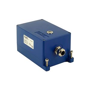
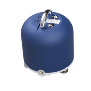
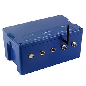
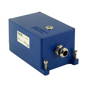
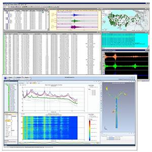
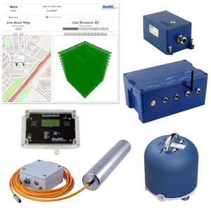
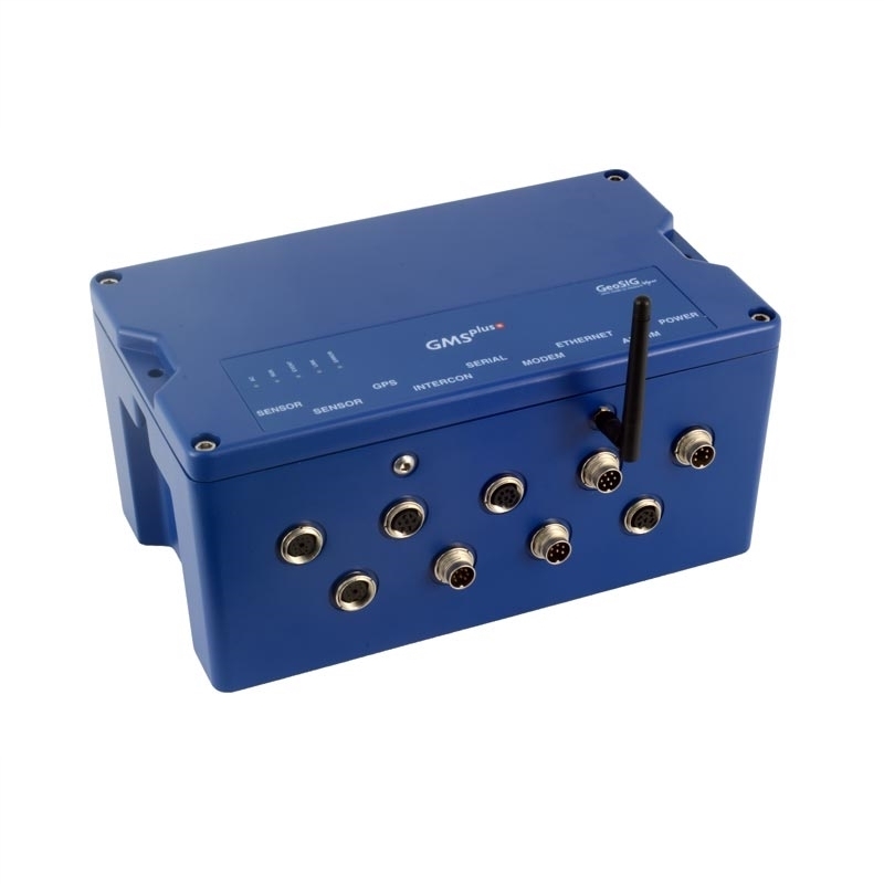
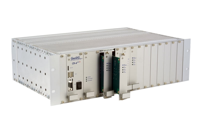
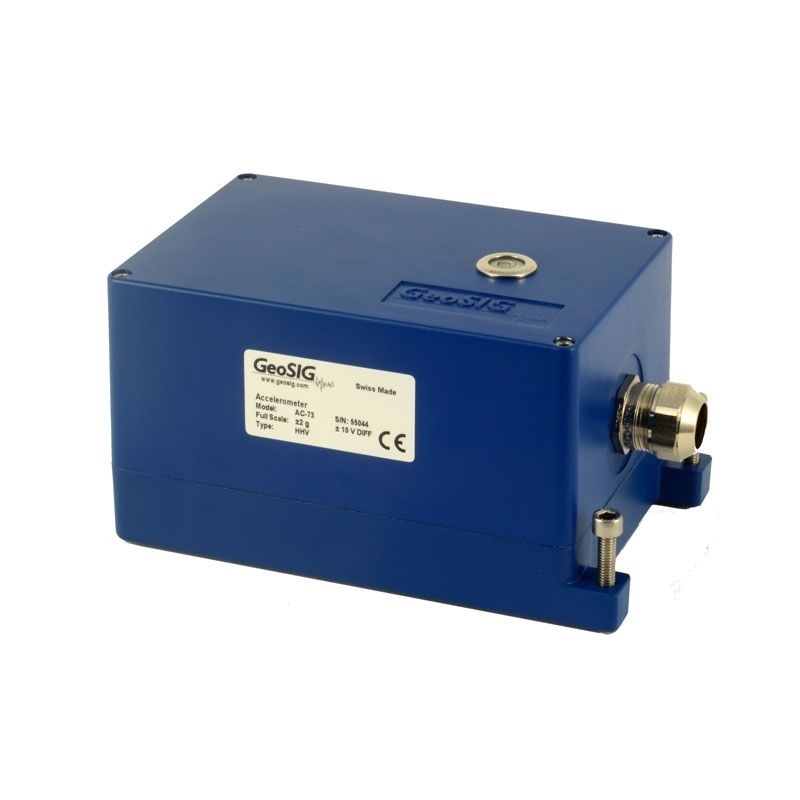
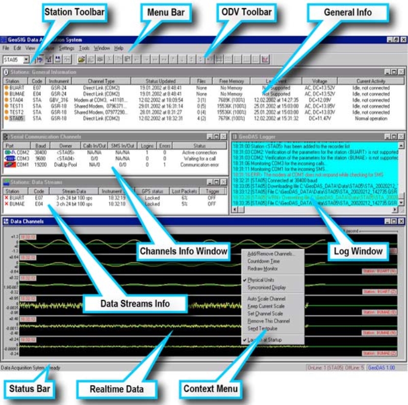
Such a high profile project required a company with extensive background in this area. Our Partner in South Korea, EJtech, focuses on top-level civil engineering, measurement, surveying, assessment and instrument sales. They have been successfully implementing solutions for their clients since they were founded in 1994. The SHMS they implemented included instrumentation from GeoSIG: 10 x GMSplus measuring systems with GPS receivers, 2 x CR-6plus modular multichannel recording systems with GPS receivers, 26 x AC-72-HV biaxial force balance accelerometers, 9 x AC-72-H accelerometers, 1 AC-73 accelerometerr, and GeoDAS software.
Another Solution using GeoSIG instruments and a capable Partner effectively showing that quality and reliability can also be cost-effective.


