Download FAST radio telescope, China Case Study
Background
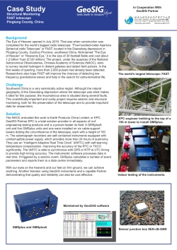
The Eye of Heaven opened in July 2016. That was when construction was completed for the world’s biggest radio telescope: “Five-hundred-meter Aperture Spherical radio Telescope” or FAST, located in the Dawodang depression in Pingtang County, Guizhou Province, southwest China. Nicknamed “The Eye of Heaven” or “Heavenly Eye,” it is the size of 30 football fields and cost about 1.2 billion Yuan (£120 million). The project, under the auspices of the National Astronomical Observatories, Chinese Academy of Sciences (NAOC), aims to survey neutral hydrogen in distant galaxies and detect faint pulsars. In the first weeks of opening, more than 2,000 pulsars had already been detected. Researchers also hope FAST will improve the chances of detecting low frequency gravitational waves and help in the search for extra-terrestrial life.
Challenge
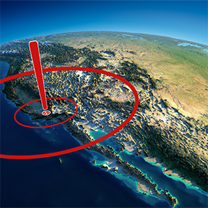
Southwest China is a very seismically active region. Although the natural geography of the Dawodang depression where the telescope was sited makes it ideal for this purpose, the mountainous area is situated along several faults. This scientifically-important and costly project requires seismic and structural monitoring, both for the preservation of the telescope and to provide important data for researchers.
Solution
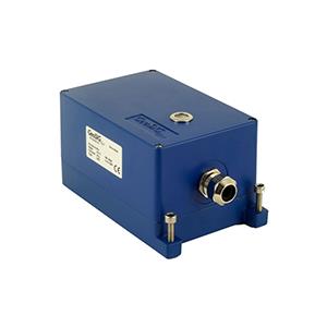
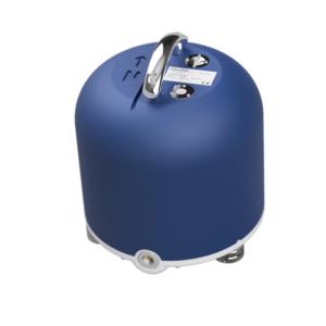
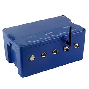
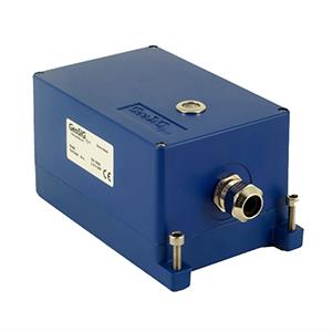
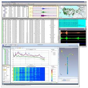
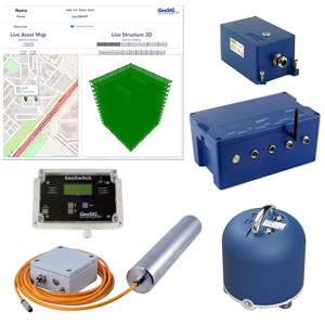
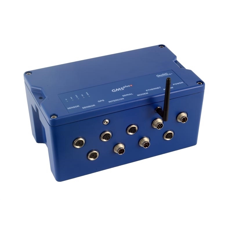
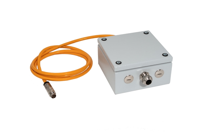
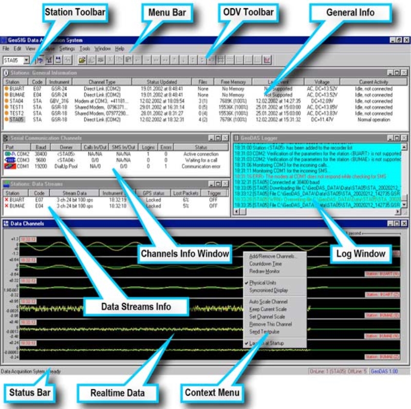
The NAOC entrusted this work to Earth Products China Limited, or EPC. GeoSIG Partner EPC is a total solution provider in all aspects of civil engineering testing products and is a proven leader its field. A GMSplus6 unit and five GMSplus units were installed on six cable-support towers dotting the circumference of the telescope, each with a height of 150 m. The seismograph recorders are self-contained instruments equipped with uninterruptible power supply, which provides more than 24 hours of autonomy. They use an “Intelligent Adaptive Real Time Clock” (IARTC) with self-learning temperature compensation, improving the accuracy of the RTC or TXCO significantly. The IARTC is able to synchronize with GPS or NTP to UTC timing to provide high timing accuracy. The instruments’ software processes data in real time. If triggered by a seismic event, GMSplus calculates a number of event parameters and reports them to a data centre immediately.
With our eyes on the heavens and our feet on firm ground, we can achieve anything. Another Solution using GeoSIG instruments and a capable Partner demonstrating that quality and reliability can also be cost effective.


