Download AFAD, Turkey Case Study
Background
According to the AFAD – the Disaster and Emergency Management Presidency of Turkey (or Afet ve Acil Durum Yönetimi Baskanligi in Turkish) – website, Turkey ranks third in the world in terms of earthquake-related casualties and eighth in the world with regard to the total number of people affected. Turkey experiences at least one 5+M earthquake annually, making proper disaster management and coordination crucial. AFAD has identified its vision as: “Being a leading and coordinating organization which offers a model that can be taken at the international level as being, based on sustainable development, risk-centred, efficient, effective and performing reliable service in the studies related to disaster and emergencies,” and its mission as “Building a disaster-resilient society.”
Challenge
As one of its early goals, AFAD wanted to detect the epicentres of earthquakes in Turkey and the region with 99% accuracy and a 1-km margin of error by the end of 2017. Other goals included increasing risk reduction activities by 20% every year, improving preparedness and response capacity by 25% on average every year by the end of 2017, improving recovery capacity and processes by 20% every year, and developing disaster management support systems by the end of 2017.
Solution
Over the course of the past few years, our Partner, Sangari Uluslararasi Ticaret A.S., of Turkey, won tenders to supply more than 200 seismic stations to expand Turkey’s strong motion network.
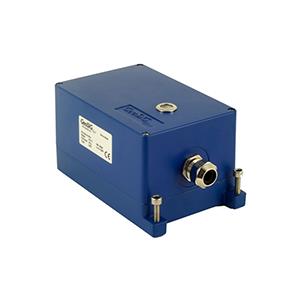
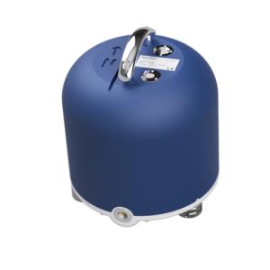
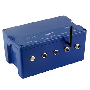
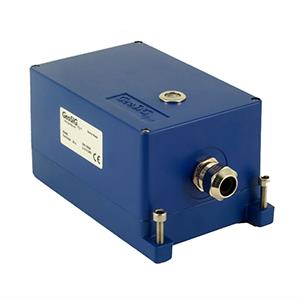
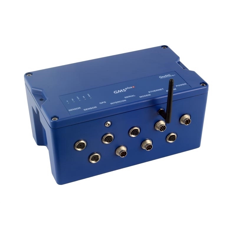
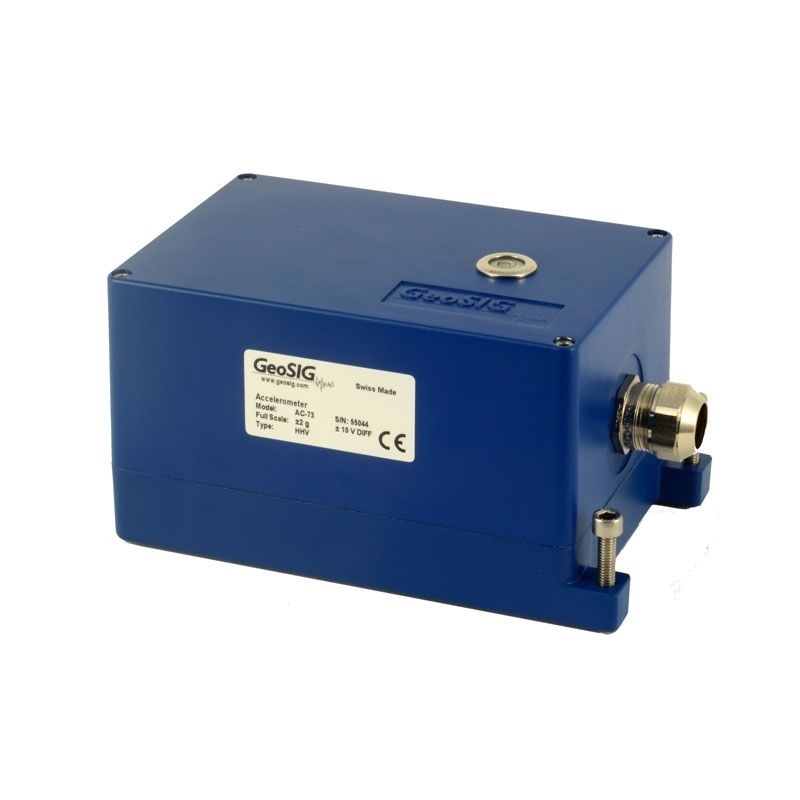
The seismic stations comprise GMSplus high dynamic-range strong motion accelerographs with internal AC-73 accelerometers, which offer real-time data streams over GPRS/3G network. The seismic stations also include a specific field station cabinet, high performance uninterrupted power supply, and other accessories.
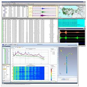
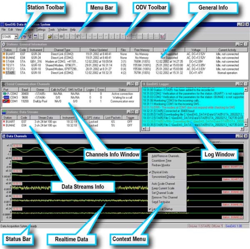
GeoDAS software in the data center receives streams from all stations of the AFAD seismic network. It monitors state of health of stations and displays their status on the map. Every detected and recorded seismic event is preprocessed and converted to the specific data format of AFAD Earthquake Department. Apart from that, one can request from all or from selected stations any fragment of data recorded within the last few eeks, and process it accordingly.
Another solution with a capable Partner using GeoSIG products proving quality and reliability can also be cost effective.


