|
Table of contents |
| • Capability of our GMS; the NetQuakes instrument | | | • Alexandre Beaud, new Head of Production | | | • Faster Response to Disasters like the Haiti Earthquake | | |
| |
| Capability of our GMS; the NetQuakes instrument |
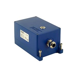
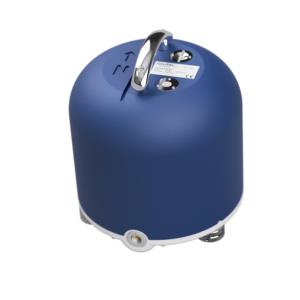
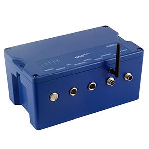
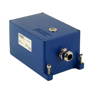
The NetQuakes project of the USGS has formed the basis of our GMS instrument which has extensive operational capabilities that far exceed any other typical digital strong motion accelerograph in the market. | After a press conference of the USGS, revealing their plan to extend the NetQuakes to the Seattle/Tacoma area, hundreds volunteered to host a GMS instrument and be part of the NetQuakes project. Find out more about NetQuakes on the official project website. | 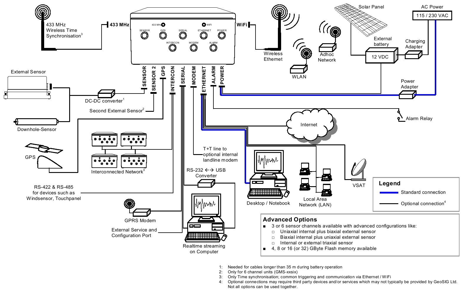 Figure 1. Connectivity Options for GMS-xx Series Recorder Figure 1. Connectivity Options for GMS-xx Series Recorder
| |
| Alexandre Beaud, new Head of Production |
 Alexandre joined GeoSIG in 2004 as a member of the production team in Cugy. From the start he proved to being very reliable and his work was always of good quality. He was promoted to ‘Head of Production’ in December 2009 and leads the department since January 2010. | Due to his open and friendly way, Alexandre developed into a key staff member and is very much respected in the production team.
He was able to take over a well organised department with a highly motivated team. As a consequence, all jobs are accomplished on time and arising problems are thoroughly investigated and resolved whenever possible.
We believe that Alexandre will continue having success and wish him all the best in his new position. | |
| Faster Response to Disasters like the Haiti Earthquake |
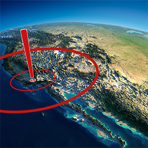
A major earthquake struck Haiti on January 12, 2010, reaching a magnitude of 7.0 on the Richter-scale. The first quake, which kept the earth shaking for 35 seconds, plus various aftershocks created massive destruction and hundreds of thousands lost their life.
This demonstrates once more, how destructive an earthquake can be, especially when hitting close to a densely populated urban area.
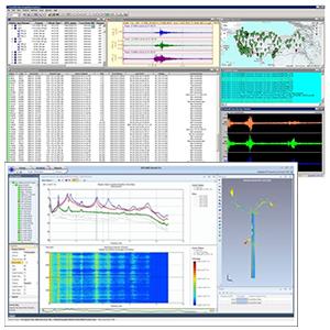
In such cases having densely deployed strong motion instrumentation might improve the ability to make rapid post-earthquake assessments of expected damage and contribute to the continuing development of engineering standards for construction. Such tangible estimation, based on hundreds of instruments distributed spatially across a high-risk area, will facilitate the generation of visual tools such as shake maps, displaying the physically measured ground motion parameters at each location. | This is allowing the decision makers to immediately see where most damage could have taken place and advise rescue teams accordingly. An example of such a map can be seen below in Figure 2. Furthermore having such a network in place enables the scientists to understand the existence of a seismic hazard and advise government officials and the public accordingly. Using this infrastructure, relevant institutions may collect valuable seismic data for attenuation relationships as well, which allows the estimation of the peak ground motions for assumed or expected future earthquakes. GeoSIG Ltd is among the pioneers in the area of Rapid Response and Early Warning, realising a number of projects with world's renowned institutes and projects such as most recent NetQuakes project, being implemented by the USGS in the Western USA based on the GMS series instrument. | 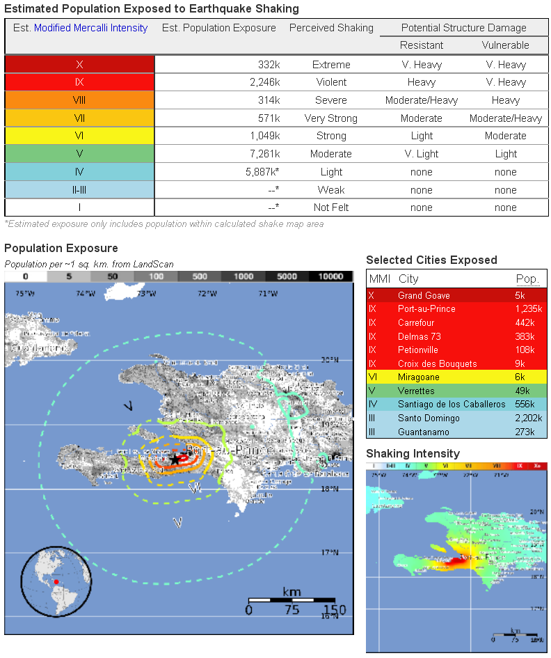
Figure 2. Shake Map of Haiti Earthquake (Ref: USGS) | | |
|
GeoSIG Ltd • Ahornweg 5A • 5504 Othmarsingen • Switzerland
Tel.: +41 44 810 21 50 • Fax: +41 44 810 23 50 • Email: marketing@geosig.com • www.GeoSIG.com |