Download Istanbul Metropolitan Area, Turkey Case Study
Background
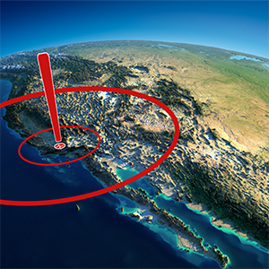
GeoSIG has maintained a strong presence in countries where experts have reasons to suspect the likelihood of severe earthquakes that have the highest risk of requiring interventions in the form of earthquake monitoring solutions. GeoSIG has formed relationships with partners to ensure that earthquake monitoring systems provide the customer with solutions meeting output reporting requirements. Istanbul — the demographic and economic heart of Turkey — has a 70% probability for an earthquake with a magnitude above 7.2 in the next 25 years. The infamous mega-city thus requires a system for Early Warning (EWS) for a safe shutdown of many important facilities and Rapid Response (RRS) for disaster management.
Challenge
The scope of the system includes not only a turnkey, state-of-the-art metropolitan alarm basis but also the structural monitoring of historical and vital buildings towards a better understanding of seismic hazards in a populated and valuable geographical area by contributing to seismic data management systems.
Solution
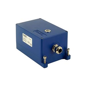
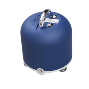
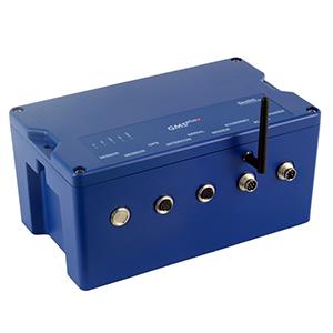
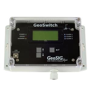
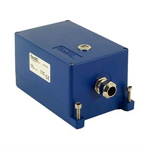
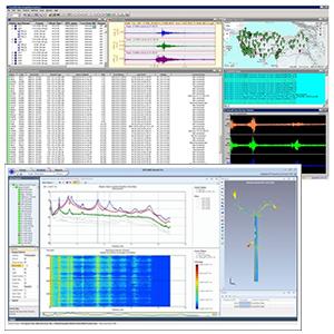
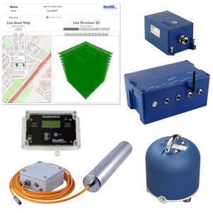
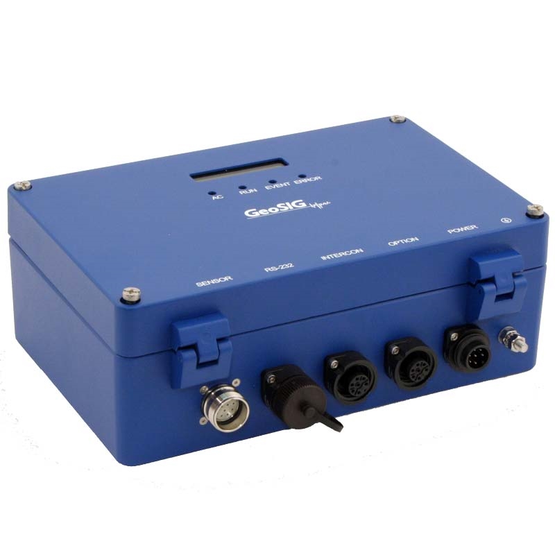
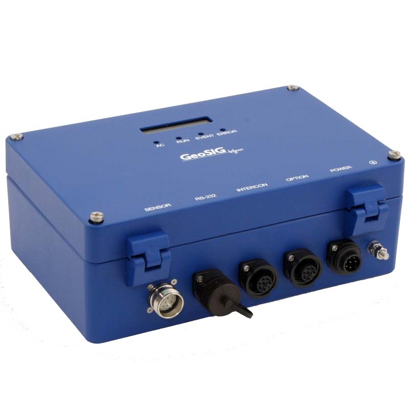
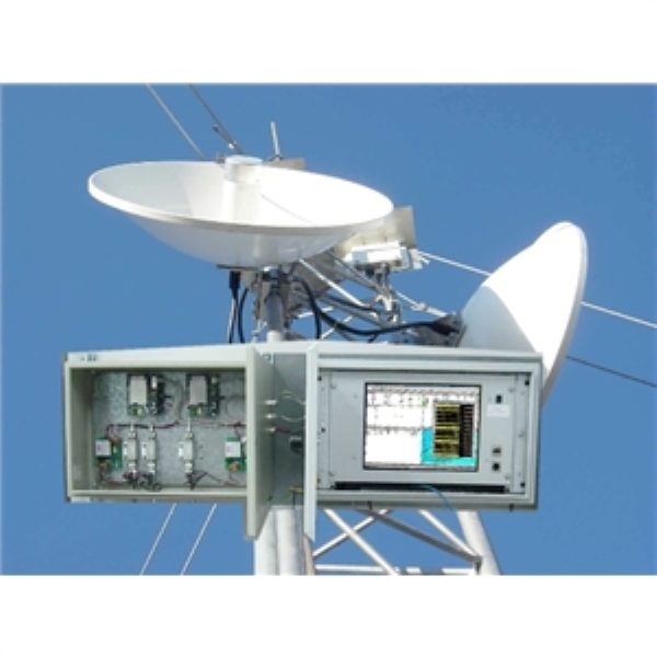
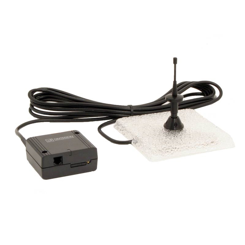
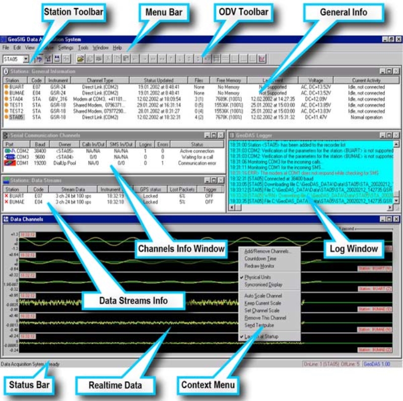
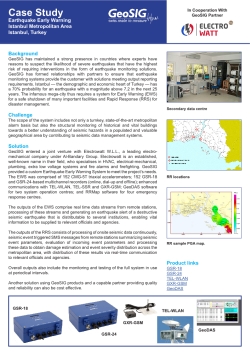
GeoSIG entered a joint venture with Electrowatt W.L.L., a leading electromechanical company under Al-Bandary Group. Electrowatt is an established, well-known name in their field, who specialises in HVAC, electrical-mechanical, plumbing, extra low voltage systems and fire alarms and firefighting. GeoSIG provided a custom Earthquake Early Warning System to meet the project’s needs. The EWS was comprised of 152 CMG-5T triaxial accelerometers; 152 GSR-18 and GSR-24-based multichannel recorders (online, dial-up and offline); enhanced communications with TEL-WLAN, TEL-SSR and GXR-GSM; GeoDAS software for two system operation centres; and RRMap software for four emergency response centres.
The outputs of the EWS comprise real time data streams from remote stations, processing of these streams and generating an earthquake alert of a destructive seismic earthquake that is distributable to several institutions, enabling vital information to be supplied to relevant officials and agencies.
The outputs of the RRS consists of processing of onsite seismic data continuously, seismic event triggered SMS messages from remote stations summarizing seismic event parameters, evaluation of incoming event parameters and processing these data to obtain damage estimation and event severity distribution across the metropolitan area, with distribution of these results via real-time communication to relevant officials and agencies.
Overall outputs also include the monitoring and testing of the full system in use at periodical intervals.
Another solution using GeoSIG products and a capable partner providing quality and reliability can also be cost effective.


