 |
 |
|
| Download Dar Khrofa Dam - Morocco Case Study | Download Dar Khrofa Dam - Morocco Case Study (French) |
Background
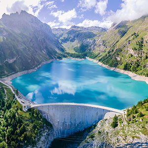
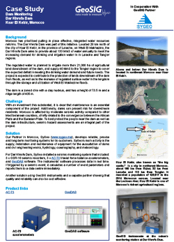
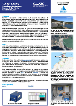
Morocco has prioritised putting in place effective, integrated water resources reforms. The Dar Khrofa Dam was part of this initiative. Located 20 km north of the city of Ksar El Kebir, in the province of Larache, on Wadi El Makhazine, the Dar Khrofa Dam aims to provide about 130 Mm3 of water annually to meet the increasing demand for drinking and irrigation water in in Larache and Tangier regions.
The regulated water is planned to irrigate more than 21,000 ha of agricultural land downstream of the dam, and supply 40 Mm3 to the Tangier region to cover the expected deficit in meeting the drinking water demand and future needs. The project is expected to contribute to the protection of lands downstream of the dam from floods, as well as to the increase of regulated surface water in the kingdom through the storage and utilization of Wadi El Makhazine floods.
The dam is a zoned dike with a clay nucleus, and has a height of 73.5 m and a ridge length of 405 m.
Challenge
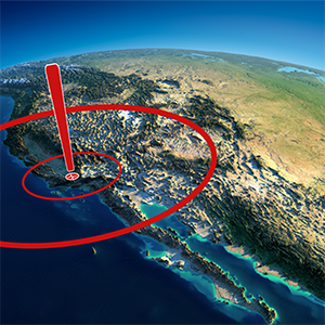
With an investment this substantial, it is clear that maintenance is an essential component of the project. Additionally, dams can present risk for downstream residents. Morocco is affected by moderate seismic activity compared to other Mediterranean countries, chiefly related to the convergence between the African Plate and the Eurasian Plate. To best protect the people near the dam as well as the dam infrastructure, seismic hazard assessments are an integral part of the project.
Solution
Our Partner in Morocco, SyGeo (www.sygeo.ma), develops reliable, precise and long-term monitoring systems for its customers. SyGeo’s main activity is the supply, installation and maintenance of equipment for the auscultation of dams and civil engineering works, hydrology, oceanography, and meteorology.
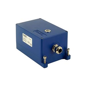
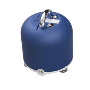
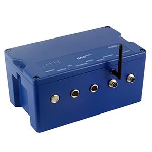
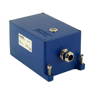
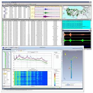
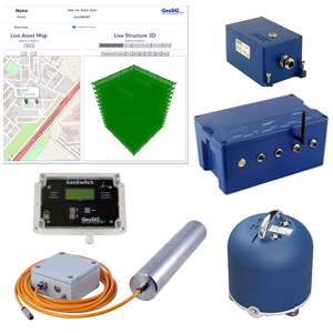
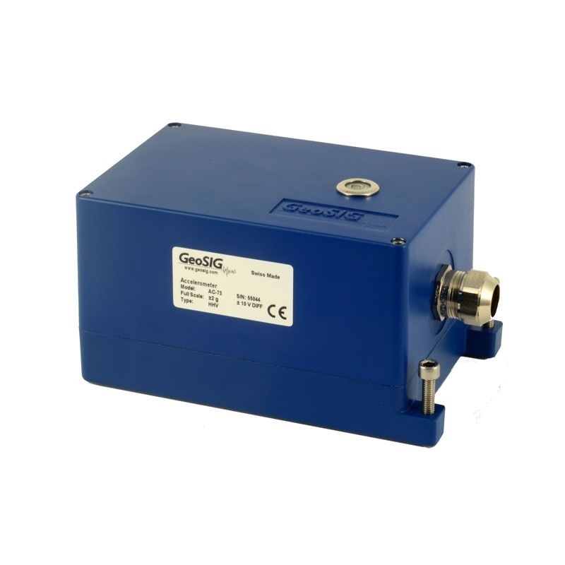
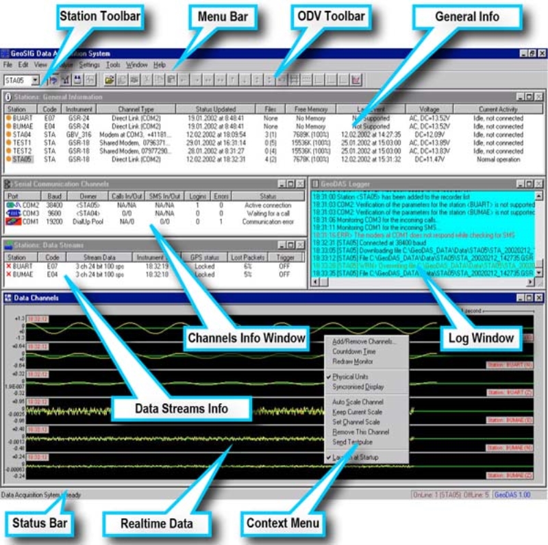
For Dar Khrofa Dam, SyGeo installed a seismic monitoring system that included: 3 x GSR-18 seismic recorders, 3 x AC-73 triaxial force balance accelerometers, and GeoDAS software. The instruments’ software processes data in real time. If triggered by a seismic event, it calculates a number of event parameters and reports them to a data centre immediately.
Another solution using GeoSIG instruments and a capable partner showing that quality and reliability can also be cost effective.


