 |
 |
|
| Download My Hassan 1st Dam - Morocco Case Study | Download My Hassan 1st Dam - Morocco Case Study (French) |
Background
My Hassan 1st Dam is an embankment dam located 19 km northeast of Demnate on the Lakhdar River in Azilal province, Morocco. with a height of 145 m and a ridge length of 380 m, the dam provides water for the irrigation of more than 40,000 hectares of agricultural land. The hydroelectric power station of the dam also generates on average 132 Gw-hours per year.
Challenge
As agriculture in Morocco employs about 40% of the nation’s workforce, it is essential that a consistent water supply is available for irrigation and livestock, as well as drinking water for the population. Morocco has been investing in integrated water resources reforms to combat the effects of climate change and safeguard its people from unforeseen calamities. Dams are continuing to be built to ensure water provision is uninterrupted. Morocco is affected by moderate seismic activity compared to other Mediterranean countries, largely related to the convergence between the African Plate and the Eurasian Plate. This presents a risk to dams (and those downstream). Although we are unable to predict earthquakes, we can strengthen protective measures by making seismic hazard assessments.
Solution
Our Partner in Morocco, SyGeo (www.sygeo.ma), develops reliable, precise and long-term monitoring systems for its customers. SyGeo’s main activity is the supply, installation and maintenance of equipment for the auscultation of dams and civil engineering works, hydrology, oceanography, and meteorology.
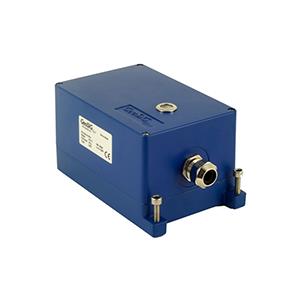
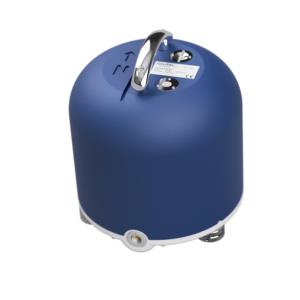
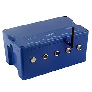
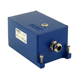
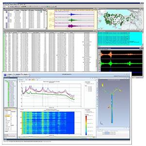
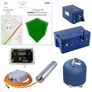
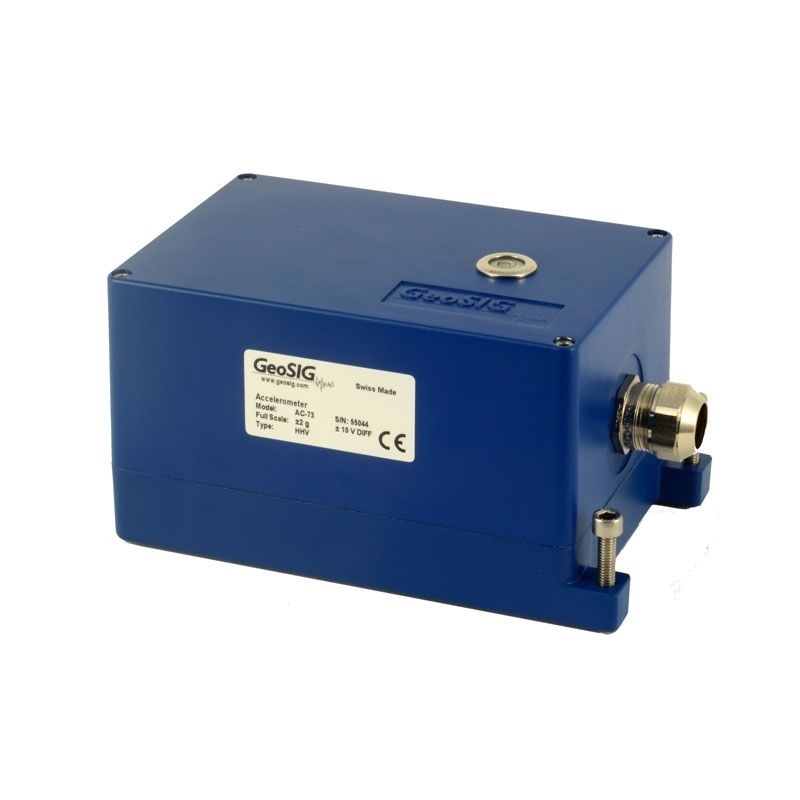
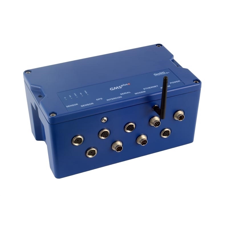
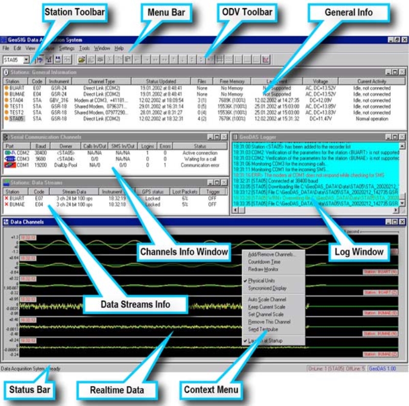
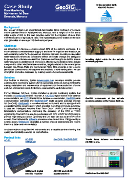
For My Hassan 1st Dam, SyGeo installed a seismic monitoring system that included: a GMSplusD seismic recorder, 4 x AC-73D digital triaxial force balance accelerometers, an AC-73 triaxial force balance accelerometer, GeoDAS (data communication software) and GeoDAS-DAP (data analysis package module for GeoDAS). GMSplusD is a self-contained instrument and is equipped with an uninterruptible power-supply, which provides more than 24 hours autonomy. It uses an “Intelligent Adaptive Real Time Clock” (IARTC) with self-learning temperature compensation, improving the accuracy of the RTC or TXCO significantly. The IARTC is able to synchronize with GPS or NTP to UTC timing to provide high timing accuracy. Optionally the unit itself can act as an NTP server as well. The instrument’s software processes data in real time. If triggered by a seismic event, GMSplusD calculates a number of event parameters and reports them to a data centre immediately.
Another solution using GeoSIG instruments and a capable partner showing that quality and reliability can also be cost effective.


