Download Beli Iskar Dam, Bulgaria Case Study
Background
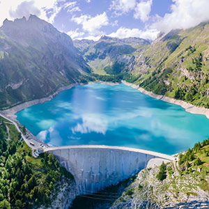
The Beli Iskar Dam is situated 60 km from Sofia in the Rila National Park, Bulgaria, at the foot of the Moussala Summit and at an elevation of approximately 1,800 m. It was constructed in 1935-1945 and put into service in 1948. The main function of the dam is to balance the natural run-off of the Beli Iskar River and to provide water to the communities in the Rila Mountain region and parts of Sofia. The dam is of concrete gravity type, with a maximum height of 51 m and a crest length of 533 m.
The dam underwent repairs from 1997-1999. In 2002, one of the most important construction projects in Bulgaria was the rehabilitation of the Beli Iskar Dam.
Challenge
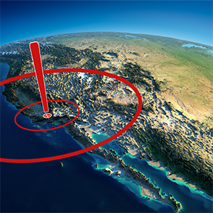
Bulgaria occupies the central part of the most seismic region of Europe — the Balkans, and it is exposed to the influence of neighbouring active seismic zones. It does experience earthquakes. The 2012 Penik earthquake was 5.6 M and caused at least €11,000,000 worth of damage. In 2014, the Aegean Sea earthquake of 6.9 M was widely felt across parts of Bulgaria.
The mandate for GeoSIG was a dam monitoring system for Beli Iskar Dam, requiring instrumentation to record seismic motions and other ambient dynamic activity in order to continuously monitor dam structural safety within the context of a safe operating dam environment.
Solution
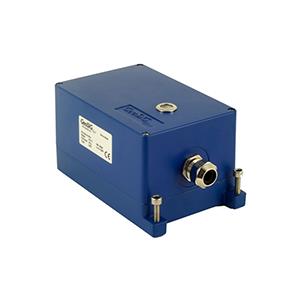
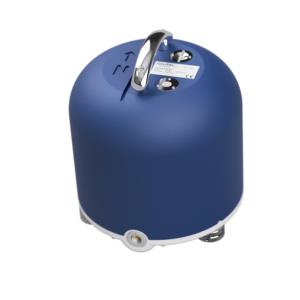
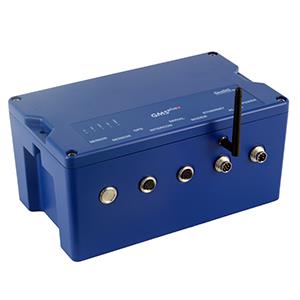
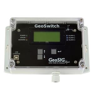
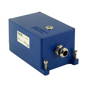
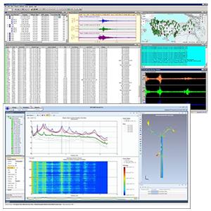
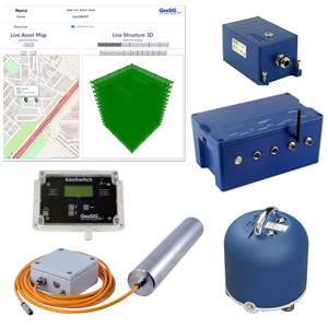
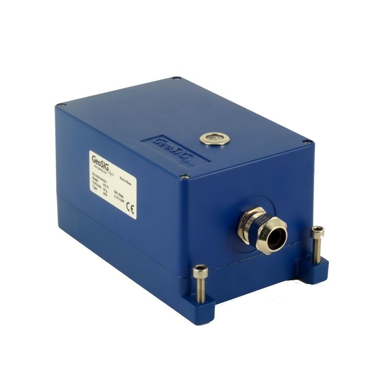
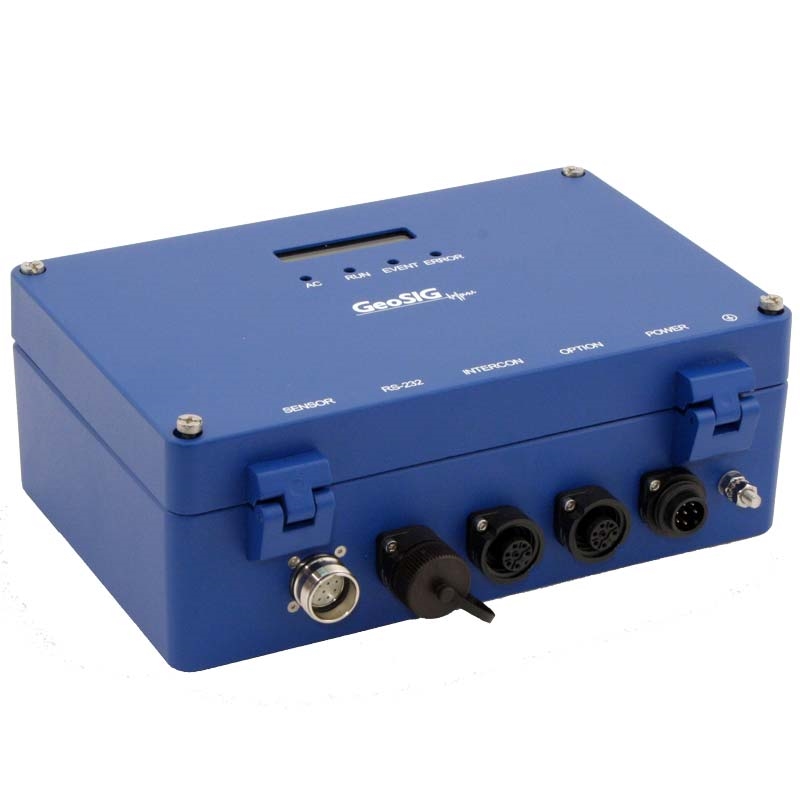
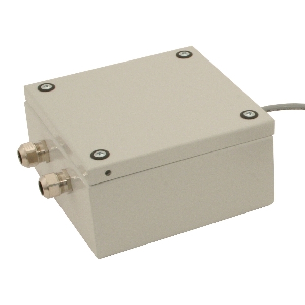
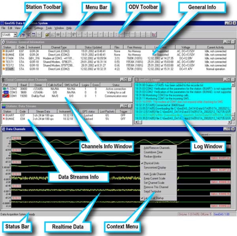
The structural monitoring and measurement system, which was implemented by Start Engineering JSC, Sofia, in the Beli Iskar Dam consists of 3 x AC-23 accelerometers, 3 x GSR-16 strong motion recorders, the GXR-ICC interconnection set for the interconnection cabling and modem system, an alarm interface (GXRALC alarm module), and GeoDAS software for central processing and reporting.
Once the data has been processed it is assessed and compared as dam behaviour against seismic design criteria applicable to dam operations. The project facilitated the development and improvement of dam emergency and safety measuring equipment within the context of increased awareness and contributed to the regional seismic data management systems.
Another Solution using GeoSIG instruments showing that quality and reliability can also be cost-effective.


