Download ISR Strong Motion Network, India Case Study
Background
The Indian subcontinent has a history of devastating earthquakes. The major reason for the high frequency and intensity of the earthquakes is that the Indian plate is driving into Asia at a rate of approximately 47 mm/year. Geographical statistics of India show that almost 54% of the land is vulnerable to earthquakes. On December 26, 2004, the third deadliest earthquake in the history of the world occurred off the west coast of northern Sumatra. The earthquake had a magnitude of 9.1. The tsunami that was generated killed 15,000 people in India. Because of the frequency and intensity of earthquakes there, India takes earthquakes very seriously. The Institute of Seismological Research (ISR) -- under the Science and Technology Department, Government of Gujarat -- formed in 2006. ISR is the only institute in India fully dedicated to seismological research; it is working to quickly develop into a premier international institute.
Challenge
To become a premier international institute, ISR is developing a seismic network. Their goal was to establish 19 broadband seismic stations (BSS) throughout the state for seismic zonation of the State of Gujarat in western India.
Solution
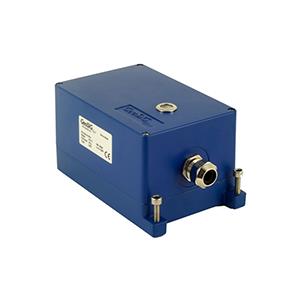
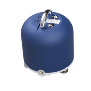
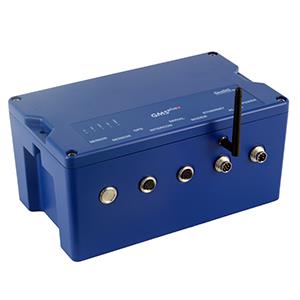
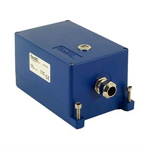
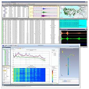
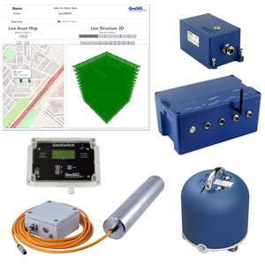
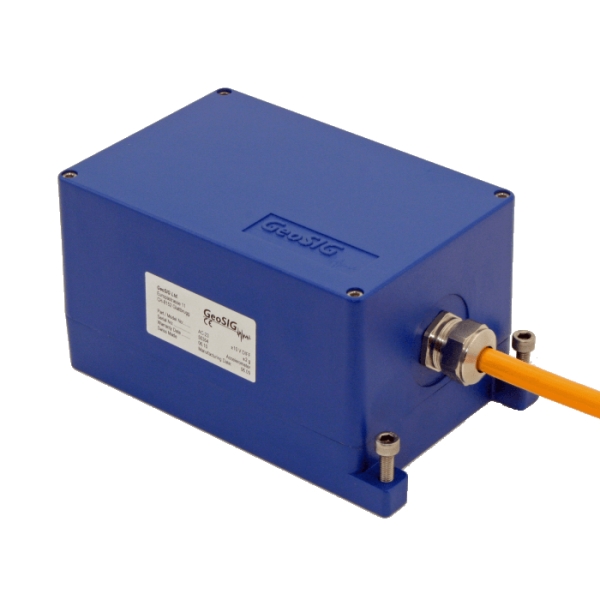
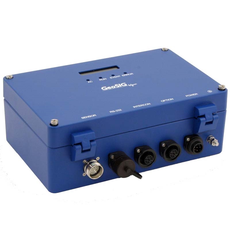
To connect these seismic observatories, ISR needed a technologically advanced and reliable system. GeoSIG, through its Partner Gannon Dunkerley & Co., Ltd., was able to provide 300 x GSR-18 and 300 x AC-63 sensors. The BSS observatories are connected by VSAT to the Centration Station at Gandhinagar. The seismic activity is monitored round the clock. The details of any regional earthquake are reported within a few minutes. In addition, GeoSIG was able to provide training regarding the equipment. With its increasingly extensive network of observatories, ISR is able to measure seismic activity for use in: earthquake hazard assessment, earthquake prediction research, national and international scientific collaboration, published papers, and making long-term earthquake prognosis.


