
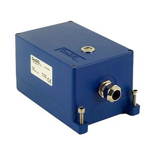


GeoSIG GeoRAPTOR
Key Features
The main features of GeoRAPTOR can be summarised as follows:- Continuous and real-time web application
- Acquisition and interpretation of EEW data
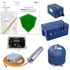
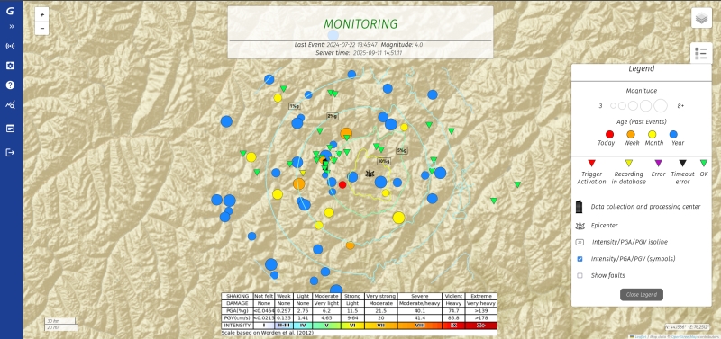
- Live interactive and animated map
- Display of system and station status
- Access to stations for maintenance
- Data manipulation and management through direct database access
- Detection and declaration of an earthquake
- Alert system integration
- Display of wave propagation on map
- Post-earthquake shakemaps
- Replay of recorded events
- Flexible sensor expansion and simplified seismic network setup
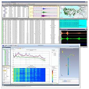
Our proprietary software package, GeoRAPTOR, is the control centre of the GeoSIG Earthquake Early Warning (EEW) system.
The software relies on the combination of the “onsite EEW” and “regional EEW” philosophies, where a multitude of field stations contribute in the decision and evaluation processes of the EEW.
Within its core analyses scheme various valuation methodologies are utilised, shared between the field stations and GeoRAPTOR, using algorithms or triggers. When a strong seismic event is detected, GeoRAPTOR generates early warning signals as well as visual indicators which can be used to perform urgent actions and notify individuals or systems. Information includes the estimated arrival time and intensity of the strong shaking.
In addition to EEW, immediately upon receipt of enough information from the remote stations about the occurred earthquake, automatic analyses calculate the distribution of the obtained parameters over the monitoring area and assesses the degree of seismic impact caused by the earthquake.
Results are presented in the form of interactive shakemaps. GeoRAPTOR is a full solution that is configured for every project’s specific requirement, such as local geology, seismic activity or field station distribution.