GeoWatch Issue 35
28/03/2008
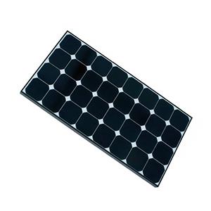
Every Field Station is powered by a unique solar panel or - in case of bad weather conditions - by battery. A solar charger takes care about the charging of the battery and controls, whether the equipment is powered by solar panel or battery. Depending on the actual situation, it automatically switches between these sources without any interruption. With a safety factor of 2.0, the system still guarantees three days continuous running without any sun.
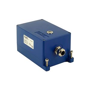
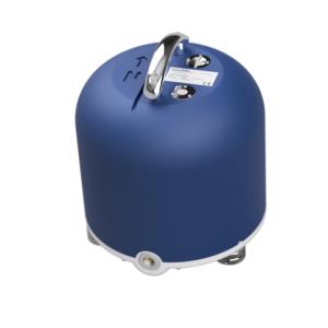
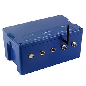
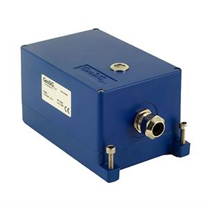
Inside the building, the 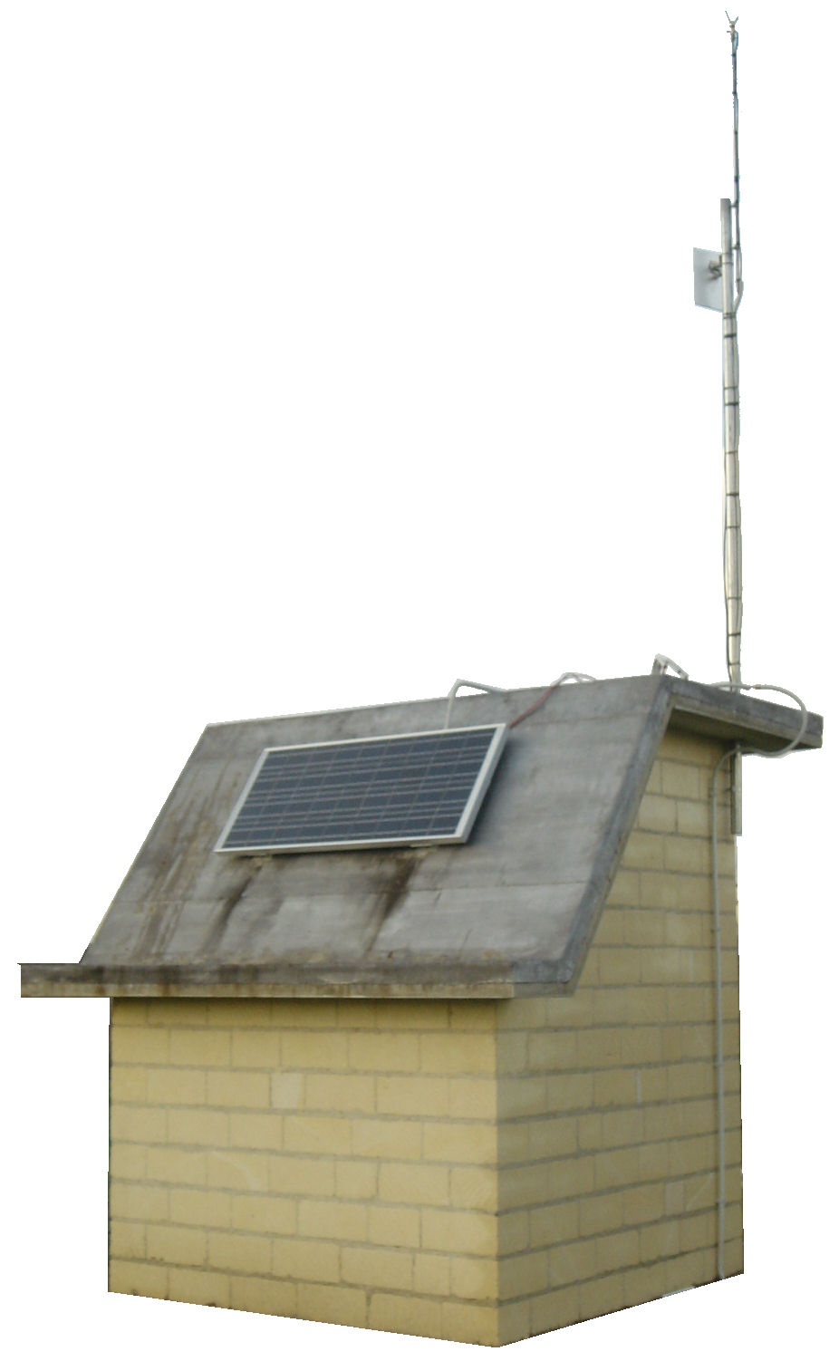 vertical short period the CMG-40V-1 sensor is connected to a GSD-24 digitiser. The digitizer streams the data via the telemetry unit to the Central Station. The data are time stamped on the basis of the GPS, which is installed on the roof of each Field Station and connected to the GSD-24 as well.
All Field Stations are carefully protected against over voltage and lightning, and therefore ensure a long lifetime even during bad weather conditions.
|
Table of contents
|
|||||||||
|
|||||||||
| Keynote | |||||||||
|
|||||||||
| Seismic Monitoring Network for Lentini Dam, ITALY | |||||||||
|
|||||||||
 |
|||||||||
|
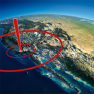
Seismic Monitoring Network: Lentini is close to the border of the Eurasian- and African tectonic plates, where a complex system of faults exists. Small magnitude earthquakes happen almost every day and even larger ones around the magnitude of 6.5 are possible. Next to the existing dam monitoring system, GeoSIG built a new state of the art seismic monitoring network. Five Field Stations are located on selected sites around the Lentini Dam (Figure 1). From these five Field Stations the seismic data of vertical short period seismometers are sent to the Central Station by telemetry. Additionally one triaxial short period seismometer is located at the Central Station. The network has been designed, to analyse data in a very short distance to the dam, < 5 km. The seismic monitoring network is also able to record earthquakes from all over the world, but because of the small size of the network, earthquake locating precision is reduced. |
|||||||||
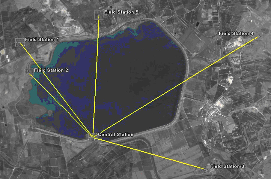
Figure 1. Overview, created by Google Earth
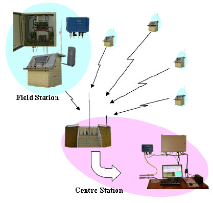
Figure 2. Seismic Monitoring Network Overview
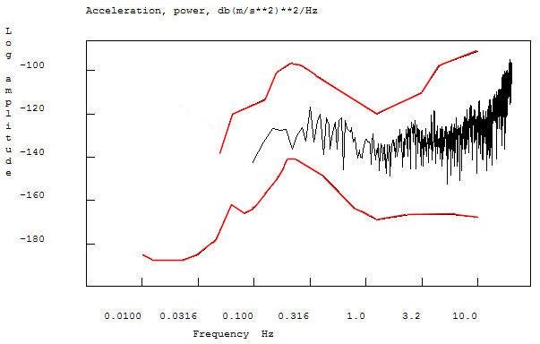
Figure 4. Peterson Noise Curve of a Field Station
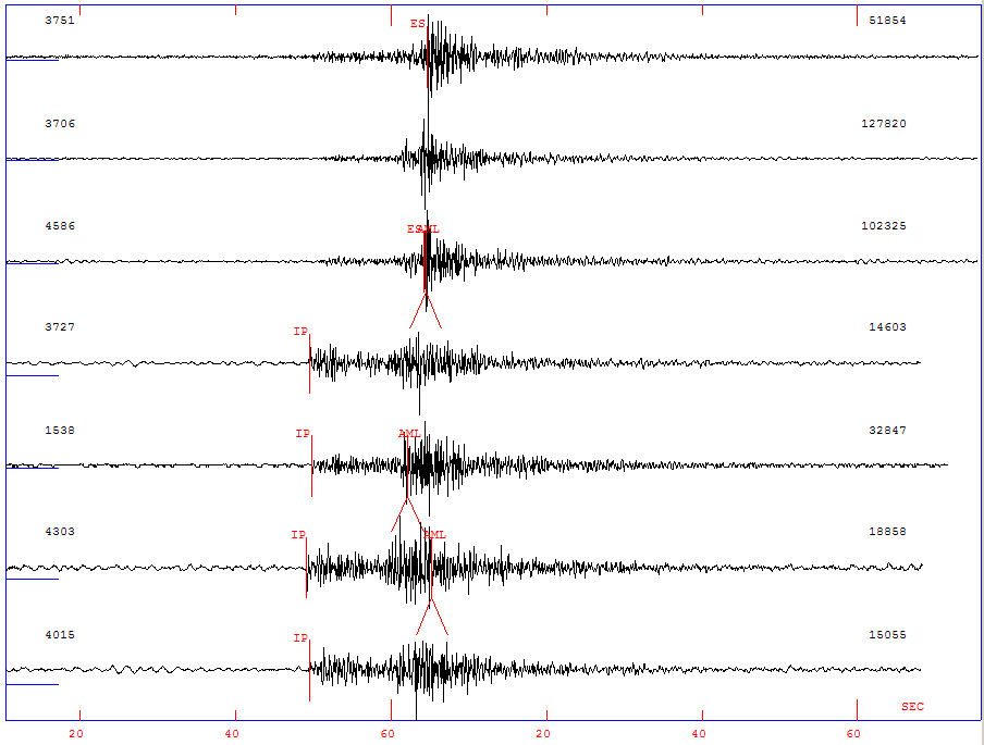
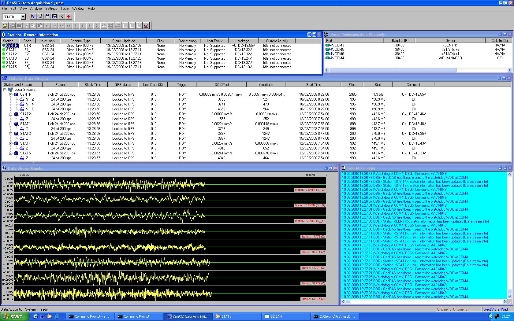
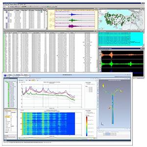
Figure 5. Data analysis by SEISAN and GeoDAS
Service:
| Figure 3. Locating of an event |
This system has been supplied in close coordination with Pizzi Instruments, our representative in Within the context of the project, SEISAN Database Training Workshop was performed by Prof. Jens Havskov from the Department of Earth Science at the University of Bergen for 10 people in |
 Yesim (Alpay) Biro joined in our team as a Marketing & Sales Assistant, preparing proposals, tender and project evaluations as well as technical reference documentation.
Mrs. Biro holds a M.Sc. degree in Civil and Earthquake Engineering and is specialised in several topics of earthquake engineering applications.
|
Ms. Bolliger has made a commercial apprenticeship with the Swiss Local Government in Kölliken. She is also a member of the YMCA Scout of Entfelden where she leads a group of 15 children.
|
GeoSIG Ltd • Ahornweg 5A • 5504 Othmarsingen • Switzerland
Tel.: +41 44 810 21 50 • Fax: +41 44 810 23 50 • Email: marketing@geosig.com • www.GeoSIG.com


