


GeoSIG-TerraIntel Webinar
17/02/2026
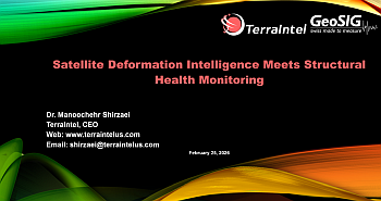
Satellite Deformation Intelligence Meets Structural Health Monitoring
A GeoSIG–TerraIntel Partner Webinar
Hosted by: GeoSIGFeaturing: TerraIntel
Why Attend?
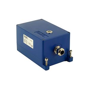
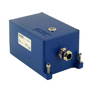
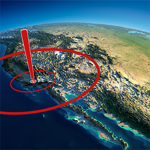
Climate change, aging infrastructure, and increasing seismic and environmental stressors demand more than point-based monitoring alone. This webinar explores how satellite-based deformation monitoring (InSAR) and ground-based Structural Health Monitoring (SHM) work together to deliver earlier warnings, broader context, and more confident decision-making for dams and critical infrastructure.Featured Speaker
Dr. Manoochehr (Manoo) ShirzaeiProfessor, Virginia Tech
Chief Scientist, United Nations University
Dr. Shirzaei is one of the world’s leading experts in satellite-based deformation monitoring and infrastructure risk analysis. His work bridges Earth science, engineering, and policy, transforming millimetre-level satellite observations into actionable intelligence for dams, cities, and other critical assets worldwide.
What You’ll Learn
- What satellite deformation monitoring (InSAR) is — explained clearly and intuitively
- What millimetre-level ground motion means in real engineering terms
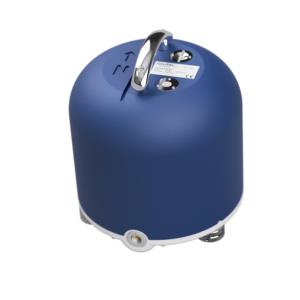
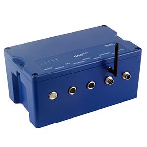
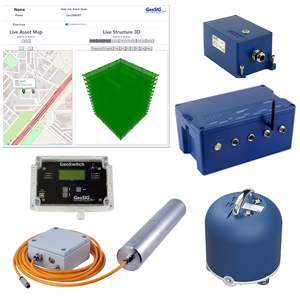
- How satellite monitoring complements in-situ SHM systems (accelerometers, GNSS, tiltmeters)
- What deformation patterns can indicate evolving risk in dams and large structures
- How slow, long-term processes differ from short-term or event-driven signals
- How combined SHM + satellite intelligence supports post-seismic and post-event assessment
- Best practices, limitations, and when not to rely on satellite data alone
Format
- Duration: 60 minutes or less
- Style: Interactive, podcast-style discussion with light supporting slides
- Engagement: Live audience Q&A throughout the session
- Audience: Infrastructure owners, operators, engineers, consultants, and regulators
Why GeoSIG + TerraIntel?
GeoSIG’s high-quality, high-frequency ground-based monitoring captures local structural response, while TerraIntel’s satellite analytics reveal regional and long-term deformation processes that ground sensors cannot observe alone. Together, they provide a more complete, scalable, and resilient monitoring framework for critical infrastructure.Webinar Details
- Date: 25 February 2026
- Sessions: Two live sessions to accommodate global time zones
- Location: Online
Who Should Attend?
- Dam owners and operators
- Infrastructure engineers and consultants
- SHM practitioners
- Risk managers and decision-makers
- Regulators and public authorities